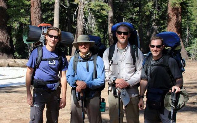
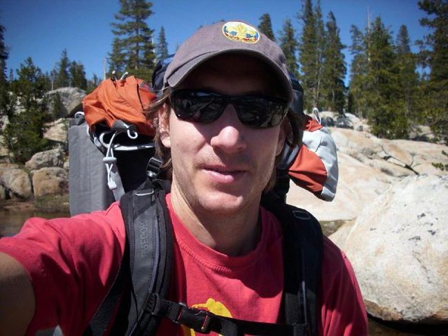
SO THERE’S A LITTLE SNOW AT THE TRAILHEAD… HOW BAD COULD IT BE?
KEVIN FINDS A FIVE-FOOT STRETCH OF TRAIL AND CLAIMS IT AS HIS OWN
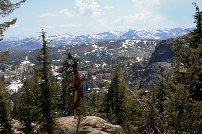
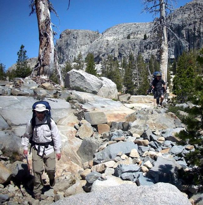
THE TRAIL IS FOUND, AND WE ARE REWARDED WITH BEAUTIFUL VIEWS
THE GROUP INVADES STEVE’S PROPRIETARY BLEND OF TRAIL MIX
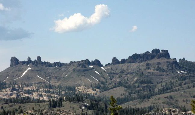
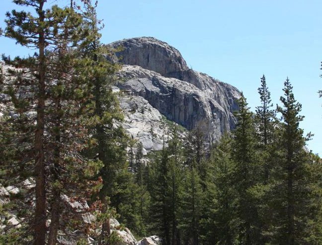
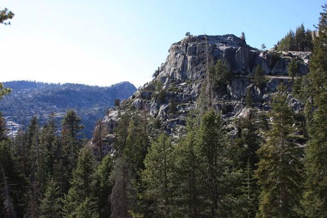
[NEED TO GET THE NAME OF THIS FORMATION, WHICH CLEARLY IS AN ANCIENT CASTLE]
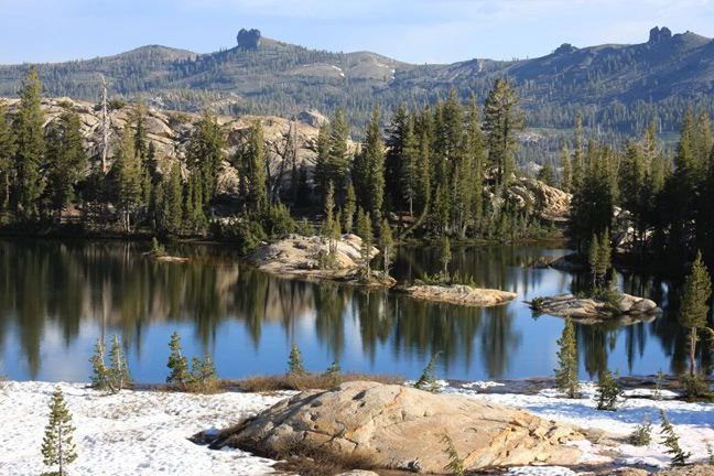
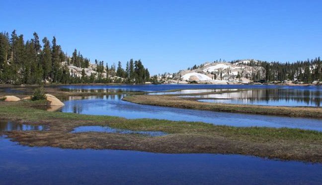
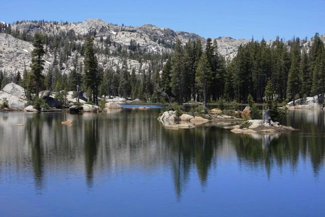
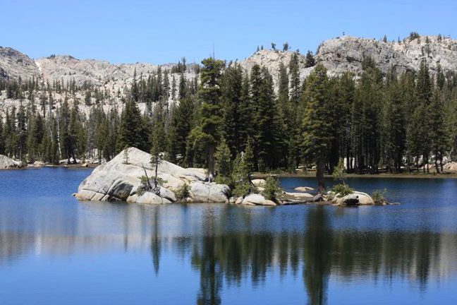
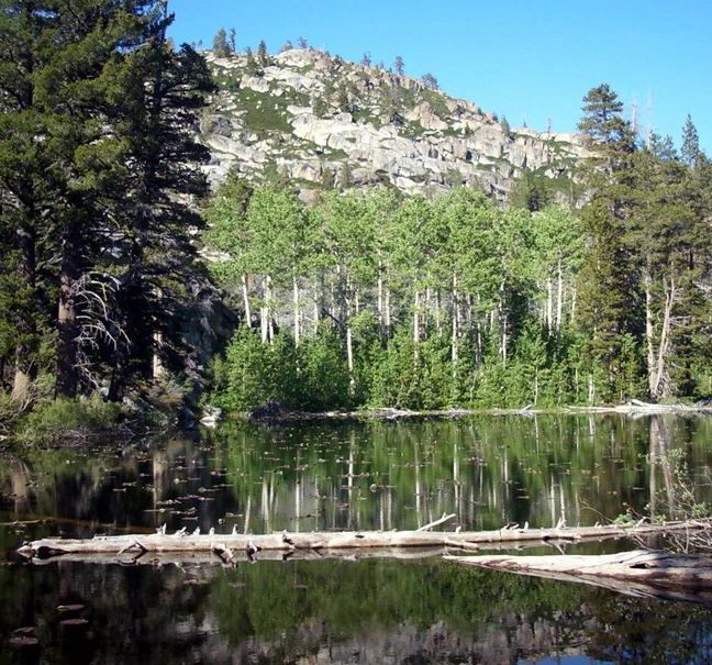
The afternoon’s hike was only 2.3 miles, but it took some time because we kept losing the trail in the snow. If only we
knew how many times that would keep happening. We decided to stop at Powell Lake, which was smallish but very
pretty.
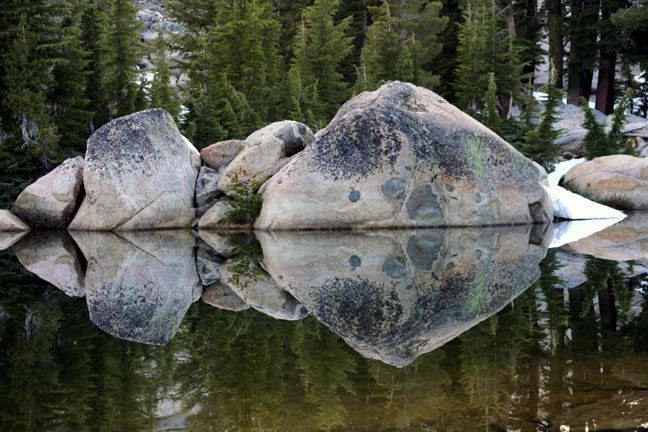
ALONG THE SHORE OF POWELL LAKE
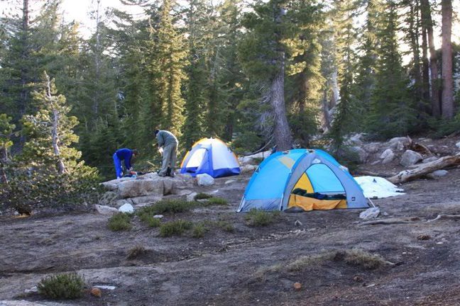
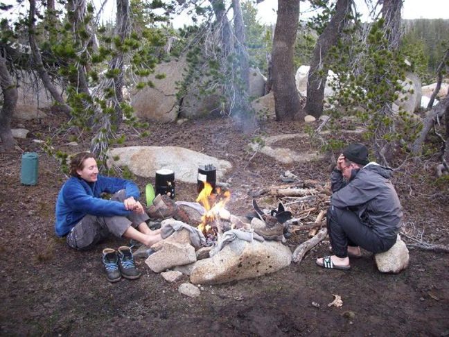
We made camp at Powell Lake and discovered that Andrei’s water filter was not going to be complaint during the trip – which is a nice way of saying that it pumped VERY slowly and required repeated disassembly and reassembly, which Andrei was happy to undertake.
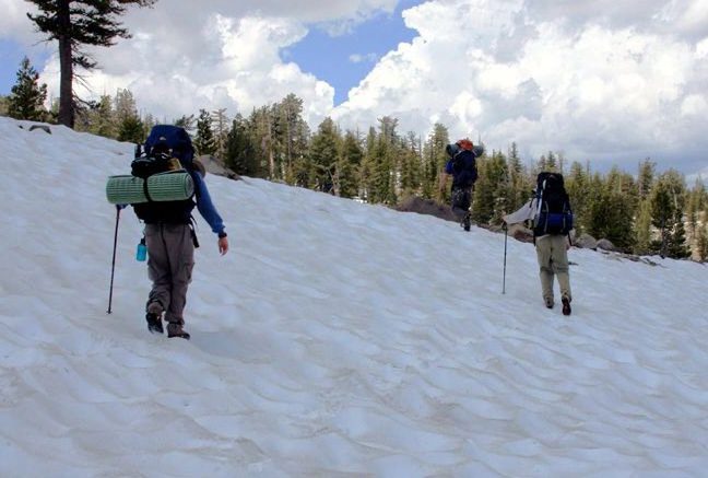
We woke and departed early, with the hope of reaching Deer Lake, some 9.9 miles away, for a two-night layover. The
snowcover was much worse than expected, adding considerable time and effort as we crossed (and fell down on)
snowfields, spent time bushwacking through the wilderness using map and compass as we tried to find the trail hidden
under the snow, and tried to find ways around streams that were swollen over their banks due to the excess earlyseason
water. These obstacles made it an interesting and exciting hike, but also a difficult one. We made it only as
far as Salt Lick Meadow, covering a “mere” 5.8 miles for the day.
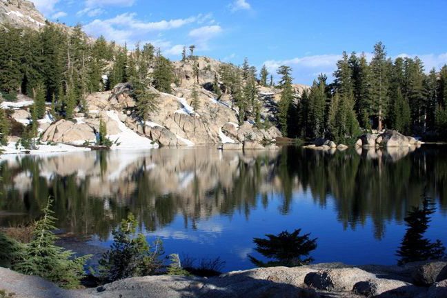
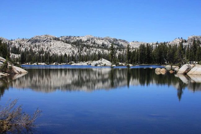
POWELL LAKE IN THE EARLY MORNING
STILL POWELL LAKE, STILL EARLY MORNING
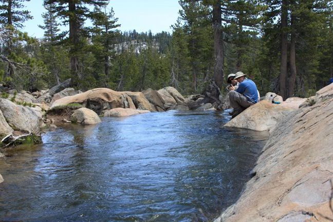
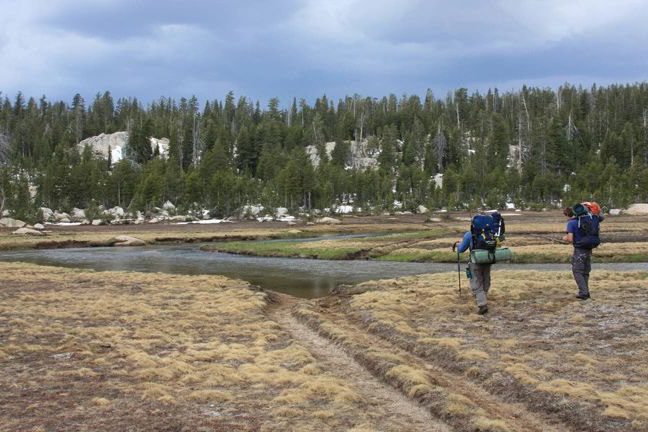
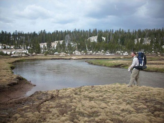
We had lunch near this stream (see picture below), which feeds to the South Fork Stanislaus River. Lunch was
accompanied by some fine red wine (first time the “red stuff” made it on a Walking Trout venture), which was a “perfect
pairing” with the nature around us (but not with the canned sardines).
THE WATER FILTER PUMPS 1 LITER PER HOUR
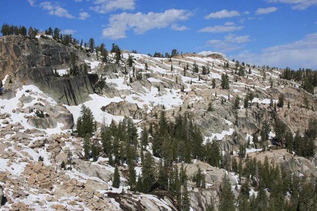
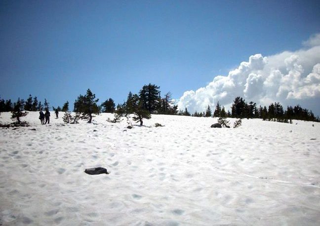
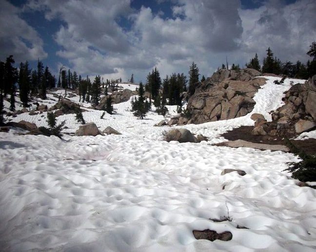
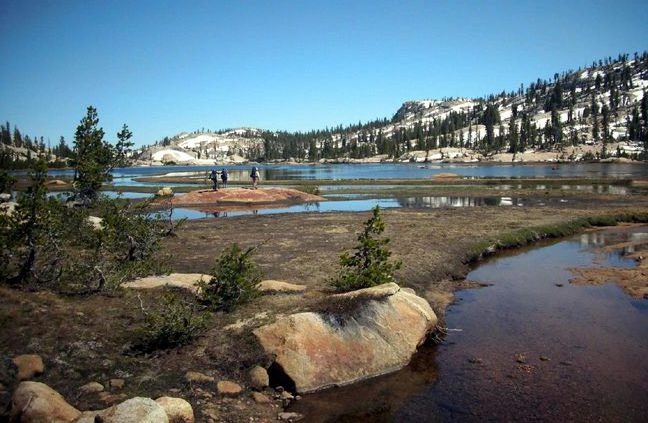
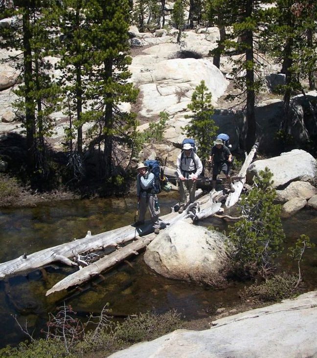
SNOWFIELD NO. 72-9. THE THREE BACKPACKERS TO THE RIGHT (OUR GROUP) SHOW THE SCALE
Some of the snowfield crossings were rather expansive (as above). With the trail completely lost, it was difficult to
determine where on the other side of the snowfiled we should start looking for the trail. On one of these crossings, we
were lucky enough to see some backpackers returning from the Deer Lake area. Our group headed towards their
group, and their group headed towards our group. After we met in the middle of the snowfield, we exchanged news of
what lay ahead, and then followed eachother’s footprints to find the trails we were looking for. It worked out nicely for
both parties.
PICKING A ROUTE ALONG WHITESIDES MEADOW
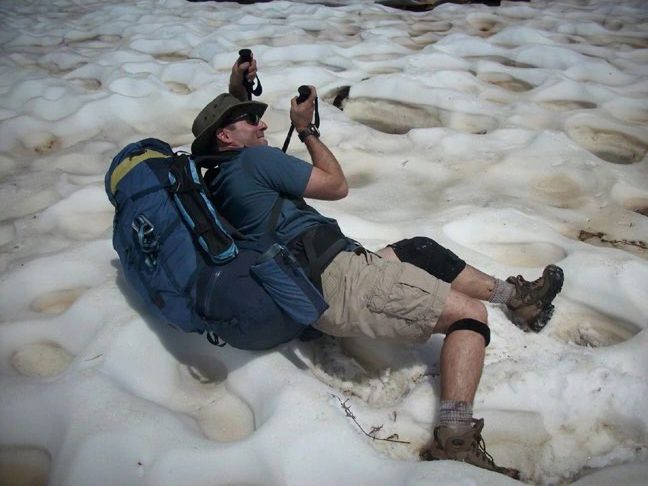
“HELP, I’VE FALLEN AND I CAN’T GET UP” (A BEMUSED ANDREI WHIPS OUT HIS CAMERA)
Just beyond Whitesides Meadow, we completely lost the trail and had to resort to navigation by map and compass.
We spent probably an hour exploring the various canyons that lead out of Whitesides Meadow in order to make sure
we were taking the correct route. This part of the hike, although difficult, is a highlight for this writer. We were in a
thick forest, clearly not on any trail or anything resembling a trail, and it was steep terrain. The going was tough and
we were all taking deep breaths as we fought our way through the terrain. The ground was completely snow-covered,
and our feet would sometimes punch through the snow. On one occasion, this writer’s foot punched through the snow
and was deposited into a running stream below the icy snow. All I could do was look down at my leg disappearing into
the snow, with the cold water entering my boot and the sound of the running water suddenly audible, and smile at my
good fortunte to be in such a beautiful place (I might have also muttered something inappropriate). In any case, we
were all pleased (and relieved) when we finally descended to XXX meadow and we knew we had taken the correct
route.
TRYING TO FIND THE TRAIL LEAVING WHITESIDES MEADOW
CHARLES CONSIDERS THE OPTIONS
We reached the far side of Salt Lick Meadow just as the clouds grew ominous. We felt a few raindrops and saw
lightning striking beyond the far edge of the meadow. We hurriedly found a camp site, selected for its apparent ability
to protect us from the coming storm, and set up our tents. The storm never did eventuate, and instead we were
treated to an early respite from our hike. But for the storm, we would have pressed on towards Deer Lake, but
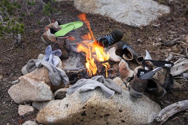
with camp set up and our packs off our backs, we decided to enjoy the late afternoon. We built a fire to dry our wet
boots, and the tequila, chilled in a nearby snowpatch, made an appearance. In all, it was a perfect end to the day of
snow-hiking, and a well deserved rest.
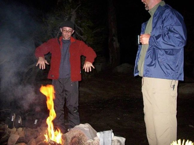
I HAVE NO IDEA WHAT STORY WAS BEING TOLD – PERHAPS THE TIN MAN FROM THE WIZARD OF OZ?
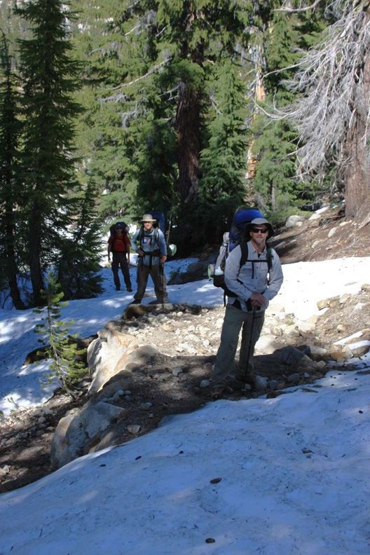
Day 3: Salt Lick Meadow to Unnamed Ridge Between Piute Lake and Piute Meadow (7.5 miles)
Our third hiking day ended up being a long one. We’d intended to stay at Deer Lake for two nights, but that was
reduced to one (potential) night due to our slow going. As it turned out, we decided to forego even one night there and
forge past Deer Lake in order to set up a shorter hike for our exit, not knowing how difficult the snow-hiking would
continue. (It turned out our snow-hiking days were behind us.) We started out ascending from Salt Lick Meadow
towards Deer Lake. As seen in this photo, the snow persisted:
CHARLES SHOWS OFF A VERY NICE PIECE OF TRAIL – AT LEAST 20 SQUARE FEET OF IT
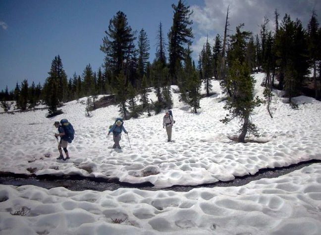
A comment about snow-hiking. On a “usual” (non-snow) hike, it is nice to take the lead… so as to avoid eating the trail
dust kicked up by the hikers in front of you. Taking the lead on a snow hike is a little more stressful. The leader has to
search around for the trail, happily announcing whenever a bit of trail is discovered, so that the group would be
assured we were headed in the right direction. When no smattering of trail was found for a period of time, however,
the leader (and the rest of the group) would start to wonder whether we were headed in the right direction.
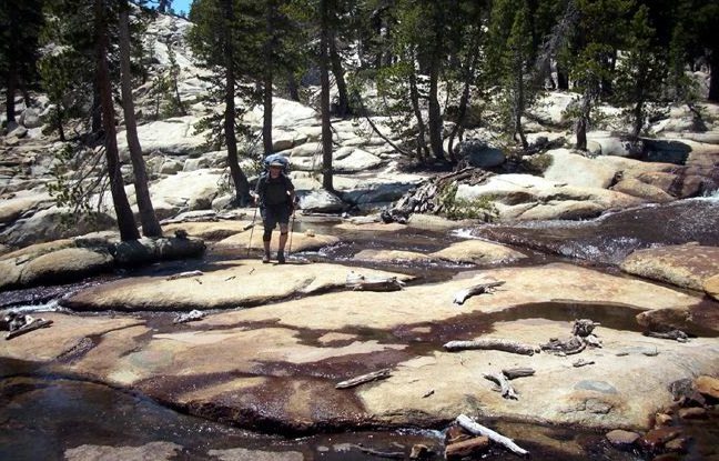
IS IT A MEADOW? A LAKE? A STREAM? WHATEVER IT IS, WE HAVE TO CROSS IT
MAYBE WE COULD BUILD A BOAT?
KEVIN AND CHARLES DISCUSS THE CROSSING
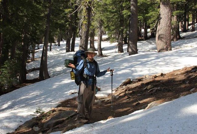
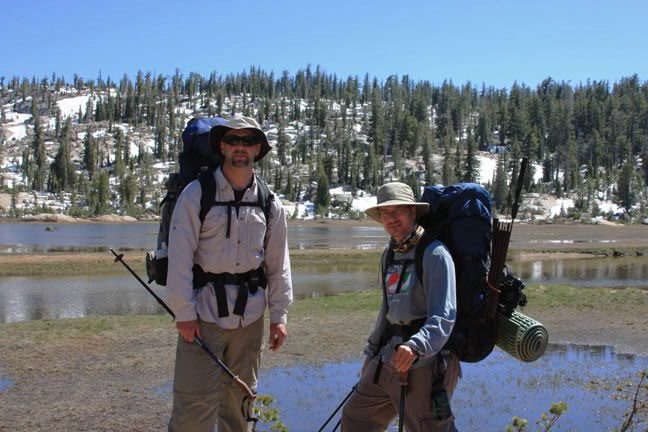
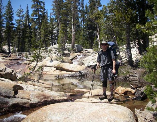
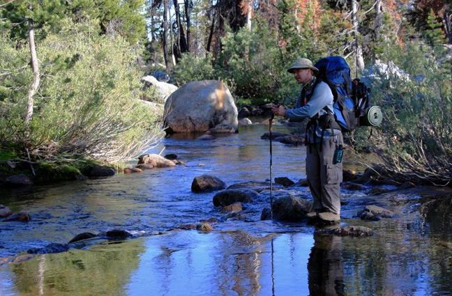
A brief comment about trekking poles. This writer brought trekking poles for the first time, as recommended by his
orthopedist as “taking 30% of the weight of your pack off of your knees.” This writer felt there was no need to bring the
little cup that goes at the end of the pole (see Charles’ pole, above). The result is that the cupless trekking poles would
frequently bury themselves deeply into the snow, and occasionally get themselves stuck (the cup of course being
designed to prevent that from happening).
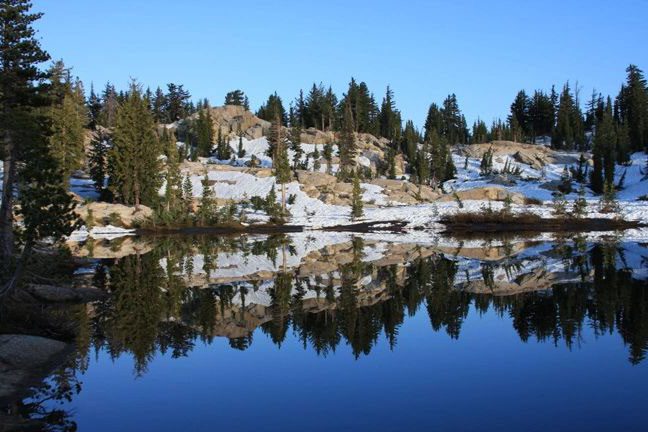
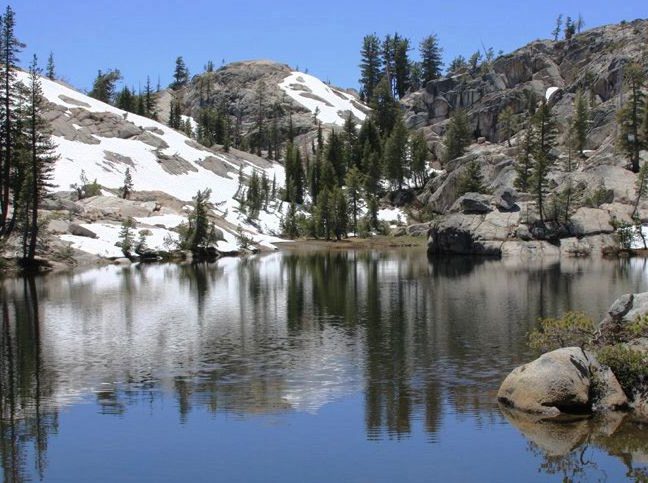
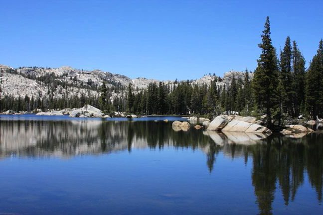
UNNAMED LAKE NEAR DEER LAKE
This pretty little lake (above) made for a nice resting point as we prepared our descent to Deer Lake. The mosquitoes began to get thick – we complained, irratably, but we had no idea what we were up against. One thing for sure is that this area near Deer Lake (as well as Deer Lake itself) is impossibly beautiful. The forest is thick and the stream cascades over large stone surfaces. Walt Disney’s imagineers could not do a better job. These pictures don’t do the landscape justice, but this area is a real privilege to walk though.
DESCENT TO DEER LAKE 2: “LET’S ALL GET ON THE LOG AT THE SAME TIME”
DESCENT TO DEER LAKE 3: NOW THIS IS A STREAM I CAN CROSS
DESCENT TO DEER LAKE 4: STEVE POSES FOR A PICTURE
DESCENT TO DEER LAKE 5: ANDREI SELF PHOTO
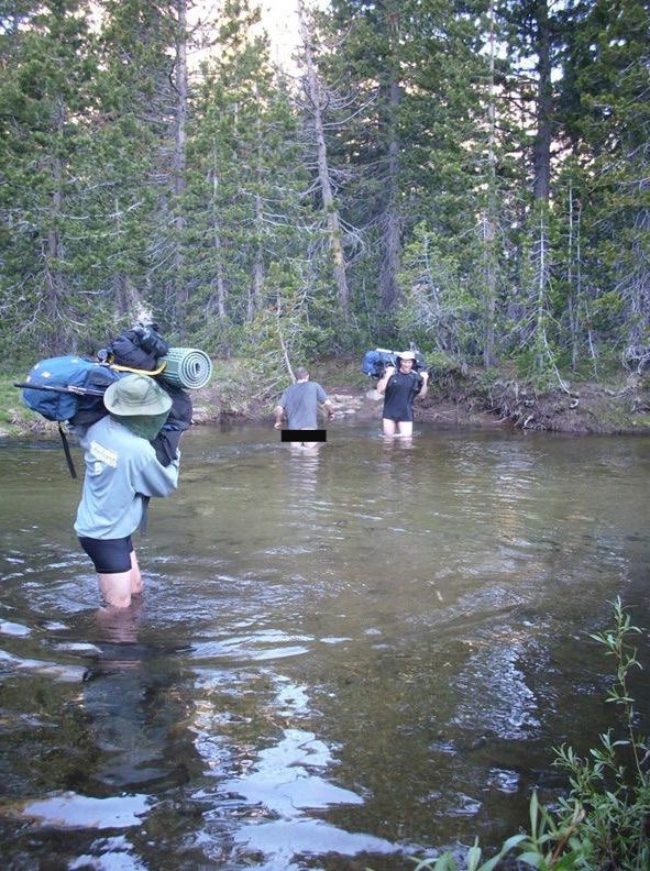
We were going to camp here at Gem Lake, and even tried a little fishing (with no success). The bugs were so severe that we had on long-sleeves, hats, and bug masks, which made us uncomfortably warm in the pleasant afternoon sun. We ultimately were driven away and decided to pick up our bags (once again) and keep hiking. Our plan was to stop at Piute Lake, but it was extremely buggy as well. We continued hiking into the evening, hoping that if we stopped nowhere near a lake, we might get a break from the bugs. We ended up stopping, out of fatigue and for lack of a better plan, at an unnamed ridge between Piute Lake and Piute Meadow, and were immediately attacked by mosquitoes. Having already logged over 7 miles, we (and the bugs) camped for the night. The bugs were so intense that we all climbed into one of the tents and ate our mini-dinner there, bear etiquette be damned. The West Cherry Creek was running high. Very high. As we stopped to look at yet another stream crossing our path, we were once again consumed, literally and figuratively, by mosquitoes. A quick glance upstream and downstream made it clear that there would be no way to cross this creek (wich was more like a stream, but not quite a river) without getting wet. Charles, without hesitation, took off his pack and his pants, and began preparing to wade across. We all followed suit, taking off various amounts of clothing and hoisting our backs and boots over our shoulders.
WEST CHERRY CREEK CROSSING (CENSORED)
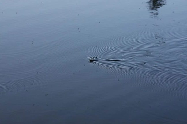
SWIMMING SNAKES AND WINGED DEVILS
The above photo was supposed to depict a snake we saw traveling across Piute Lake (where we had planned to camp for the night but were afraid to stop on account of the blanket of mosquitoes). Instead of being a picture of a snake, however, it turns out this is a picture of 34 mosquitoes, and is a good indication of how thick they were. Imagine, if the mosquitoes were that thick over the lake’s suface, just how many of them were swarming our C02-producing bodies.
KEVIN CONTEMPLATES HIS NEXT MOVE
UNNAMED LAKE WITH REAL LIVE LILLY PADS (BUT NO FROGS)
TAP TAP TAP GO STEVE’S TREKKING POLES ON THE ROCK – CHARLES IS NOT AMUSED (NEXT YEAR STEVE WILL PACK THE RUBBER TIPS AND THE SNOW CUPS)
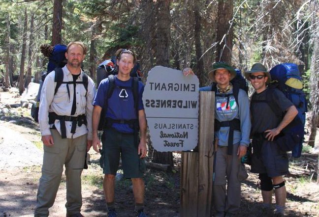
About a mile from the trailhead, we met Sandy and her daughter Savannah, who were making their way towards Crabtree Trailhead but inadvertantly were headed in the wrong direction. We helped guide them to Crabtree, where we were rewarded not only with some tasty all-natural candies, but also with a car ride from Crabtree Trailhead to Ginaelli/Burst Rock Trailhead, where our car was waiting. Charles had been planning to ride his mountain bike from Crabtree to Gianelli/Burst Rock (4 miles) to fetch the car, but Sandy’s offer for a car ride simply could not be refused, and we are all grateful for her kindness.